Northern Coast Beach Town
Rentals in Vega Alta, PR
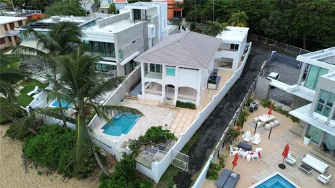
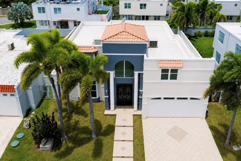
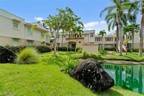
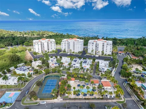
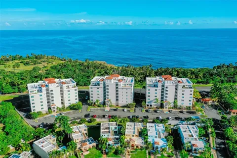
Welcome to Vega Alta, a northern-coast Puerto Rico municipality west of San Juan, known for the white sands of Cerro Gordo Beach and a 45-minute expressway link to the capital.
Vega Alta is a town and municipality on the northern coast of Puerto Rico, positioned west of San Juan between the neighboring municipalities of Dorado and Vega Baja. It covers about 28 square miles, subdivided into seven barrios, and had a population of roughly 35,000 at the 2020 census. Its residents are known as vegalteños. The municipality was founded in 1775 by Francisco de los Olivos, who originally named the settlement La Vega de Espinosa for the fertile plains that suited agriculture. The name later settled into Vega Alta, meaning "high meadow" or "upper meadow." The town center still centers on the Inmaculada Concepción Church, established in 1813, around which the traditional plaza and municipal life revolve. Vega Alta's defining feature is its coastline, anchored by Cerro Gordo Beach, one of Puerto Rico's most popular white-sand balnearios. The beach offers calm, clear water, camping facilities, water sports, and green space, drawing visitors from across the island. Inland, the Vega Alta Forest and areas such as Golondrinas Cave add natural diversity to a municipality that also claims golf courses and a rich cultural heritage. Transportation ties the municipality firmly to the San Juan metro. PR-22, the island's northern toll expressway, runs through Vega Alta and reaches the capital in about 45 minutes, while PR-2 serves as the coastal local route. Public schools are operated by the Puerto Rico Department of Education, with private options in the region. Vega Alta suits commuters, families, and retirees who want northern-coast beaches, a traditional town center, and expressway access to San Juan — coastal living on the edge of the island's largest metropolitan area.
Frequently Asked Questions
Where is Vega Alta located?
Vega Alta is a municipality on the northern coast of Puerto Rico, west of the capital, San Juan. It lies between the neighboring municipalities of Dorado to the east and Vega Baja to the west, with Morovis and Corozal to the south.
What is Vega Alta known for?
Vega Alta is best known for Cerro Gordo Beach, a white-sand balneario with calm water, sea turtles, camping facilities, and water sports. The municipality is also known for the Inmaculada Concepción Church in the town center and the Vega Alta Forest.
When was Vega Alta founded?
Vega Alta was founded in 1775 by Francisco de los Olivos, who originally named the settlement La Vega de Espinosa after the fertile plains suited to agriculture. The name Vega Alta means 'high meadow' or 'upper meadow.'
How far is Vega Alta from San Juan?
Vega Alta is connected to the San Juan metropolitan area by PR-22, the island's northern toll expressway, which has a plaza in the municipality. The drive to San Juan takes roughly 45 minutes, and PR-2 runs along the coast as a local alternative.
What schools serve Vega Alta?
Public schools in Vega Alta are operated by the Puerto Rico Department of Education, which administers schools across the island's municipalities. Private and parochial school options are also available in the surrounding northern-coast region.
How large is Vega Alta?
Vega Alta spans about 28 square miles and is subdivided into seven barrios. The 2020 United States census recorded a population of roughly 35,000 residents, who are known as vegalteños, and the municipality sits along the northern coast west of San Juan.
MARKET SNAPSHOT
The Market at a Glance
How homes have been selling here over the last 90 days.
Price & Sales History
Market data reflects closed sales over the last 90 days and is provided for informational purposes.
BROWSE BY ZIP
Zip Codes
Browse listings by postal code in this area.
- Grid
- Map
- List