La Ciudad Criolla
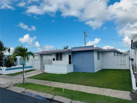
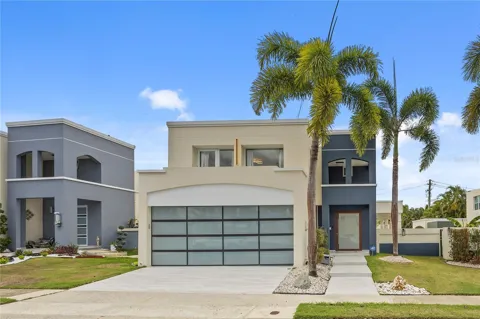
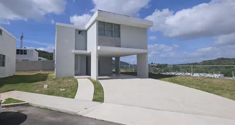
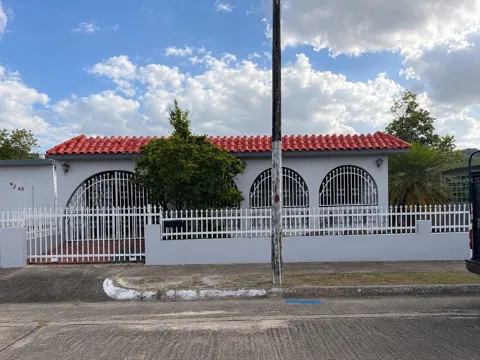
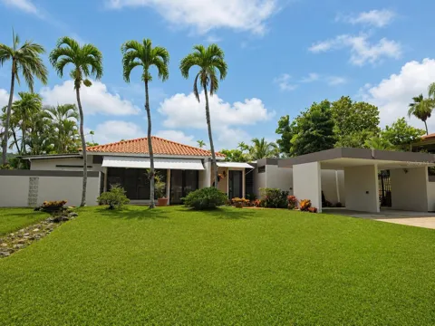
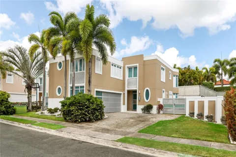
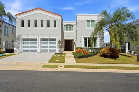
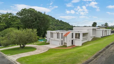
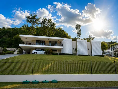
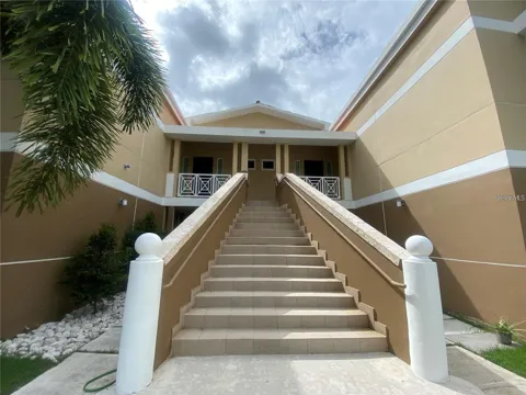
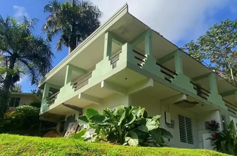
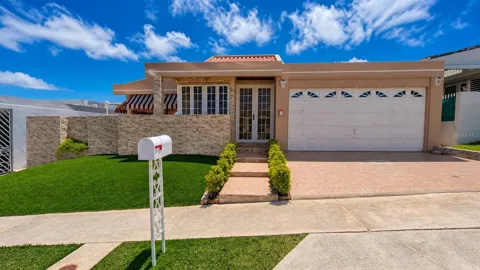
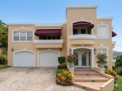
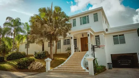
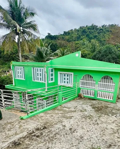
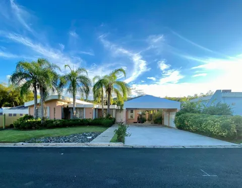
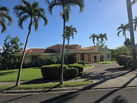
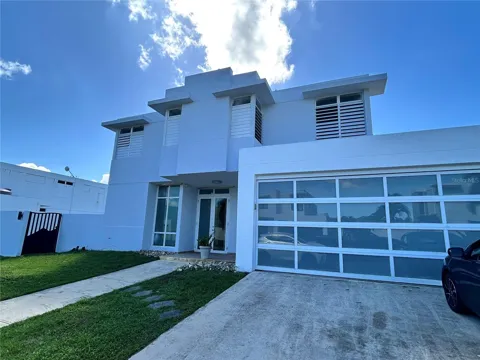
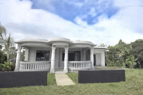
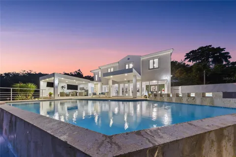
Houses in Caguas, PR
Welcome to Caguas, 'La Ciudad Criolla' of Puerto Rico's central-eastern valley—a lively municipality of roughly 127,000 set between the Sierra de Cayey and Sierra de Luquillo.
Caguas is a city and municipality in the central-eastern region of Puerto Rico, occupying the Caguas Valley between the Sierra de Cayey and the Sierra de Luquillo. It is one of the island's most populous municipalities and forms part of the San Juan–Caguas–Guaynabo metropolitan area, with the Luis A. Ferré Expressway (PR-52) tying it directly to the capital. Founded in 1775, Caguas is among Puerto Rico's older municipalities, and its colonial-era plaza, churches, and historic homes anchor a downtown that has long been a commercial and cultural crossroads for the island's interior. The city is known by its nickname, "La Ciudad Criolla" (The Creole City), a reference to its role as a center of Puerto Rican Creole culture and tradition. Its economy spans manufacturing, retail, health care, and services, with the municipality functioning as a regional hub for the surrounding mountain towns and valley communities. Its location makes it a gateway between the San Juan metro area and the island's mountainous interior, with highways reaching the eastern municipalities and the towns of the Cordillera Central. A thriving cultural scene—museums, a celebrated botanical and cultural garden, and public art walks—gives Caguas a distinctly civic identity. For people considering a move, Caguas offers urban convenience and cultural depth outside San Juan's dense core while keeping the capital within easy reach. The municipality's neighborhoods range from the historic center to established single-family districts and newer hillside and gated communities. It suits those who want a full-service city with strong Creole identity, good highway connections, and access to both the metro area and Puerto Rico's mountainous interior.
Frequently Asked Questions
Where is Caguas located?
Caguas is in the central-eastern region of Puerto Rico, in the Caguas Valley between the Sierra de Cayey and the Sierra de Luquillo. It lies south of San Juan along PR-52, the Luis A. Ferré Expressway, and is part of the San Juan–Caguas–Guaynabo metropolitan area.
What is Caguas known for?
Caguas is known as 'La Ciudad Criolla' (The Creole City) for its role as a center of Puerto Rican Creole culture. It is home to the Caguas Botanical and Cultural Garden, the Caguas Museum of Art, and a historic downtown with museums, churches, and restored homes.
How is Caguas connected to San Juan?
PR-52, the Luis A. Ferré Expressway, links Caguas directly to San Juan and the greater metropolitan area. Intercity buses also provide service between Caguas and San Juan, and PR-1, PR-30, and PR-156 connect the city to the island's interior and eastern municipalities.
What is there to do in Caguas?
Visitors can explore the Caguas Botanical and Cultural Garden, tour the historic downtown's museums and churches, walk the Paseo de las Artes, and follow the Route of the Creole Heart. The city also hosts festivals and cultural events throughout the year.
What school and university options are in Caguas?
Caguas is served by the Puerto Rico Department of Education's public schools and numerous private and parochial schools. Ana G. Méndez University operates a major campus in nearby Gurabo, making the Caguas area a regional center for higher education.
MARKET SNAPSHOT
The Market at a Glance
How homes have been selling here over the last 90 days.
Price & Sales History
Market data reflects closed sales over the last 90 days and is provided for informational purposes.
BROWSE BY ZIP
Zip Codes
Browse listings by postal code in this area.
- Grid
- Map
- List